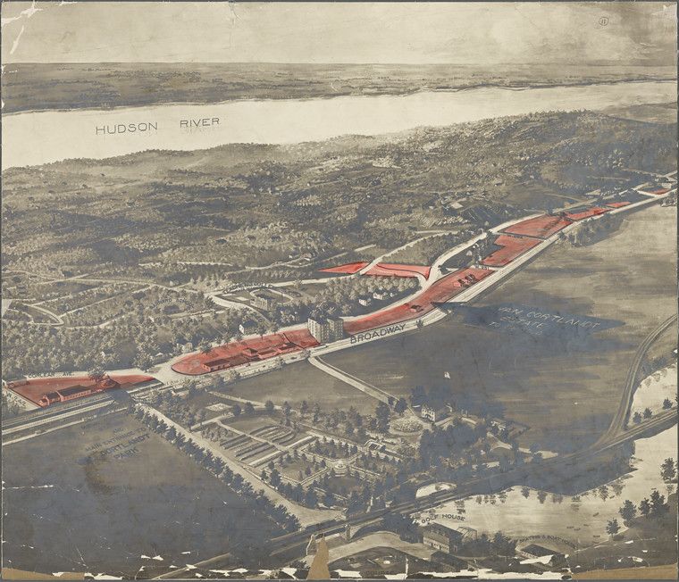
This is a sepia-toned aerial view of a city landscape, likely a historical rendering or plan. The dominant feature is a long, straight road or avenue, labeled 'Broadway,' cutting through a dense area of trees and buildings. To the left, a body of water, identified as the 'Hudson River,' stretches into the distance. The road is flanked by a series of rectangular buildings with red roofs, suggesting a planned development or complex. Below the road, the city is a patchwork of smaller buildings and more trees, creating a dense urban environment. The image has a slightly aged appearance, with some discoloration and wear, indicating it's an older document or print. The overall impression is of a grand urban plan or a vision for city development, captured from a bird's-eye perspective.