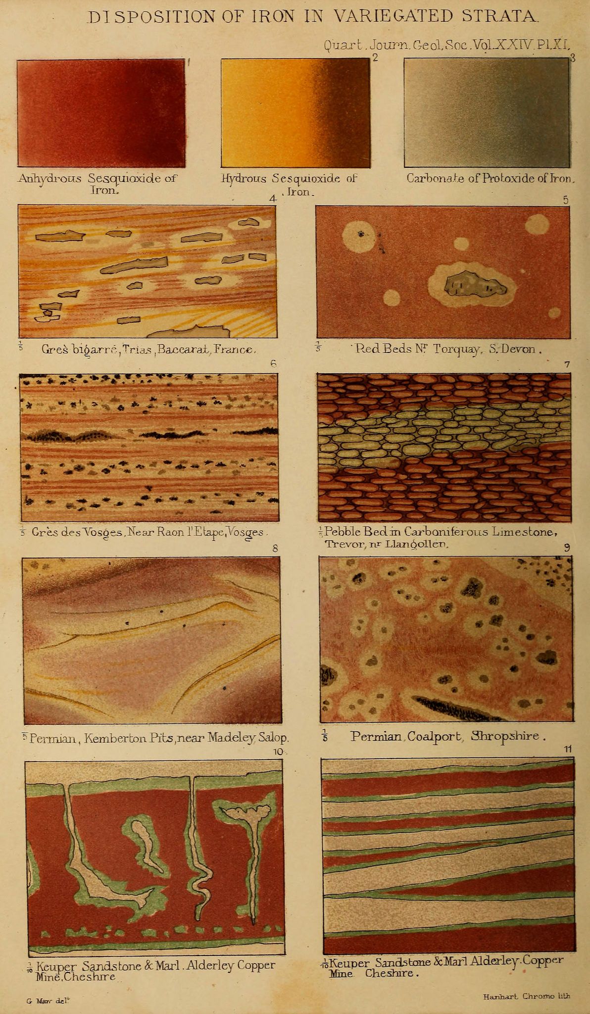
The image is a plate from a scientific publication, titled "Disposition of Iron in Variegated Strata" from the "Quarterly Journal Geological Society, Vol. XXIV, Pl. XL". It presents a series of eleven diagrams or cross-sections of rock samples, illustrating the distribution of iron within different geological formations. Each diagram is labeled with a number and a descriptive location. The diagrams showcase various rock types, including sandstone, limestone, and shale, with color variations indicating the presence and concentration of iron. The iron appears as reddish-brown or yellowish hues within the rock matrix. The diagrams depict different textures and patterns, such as layered structures, nodular formations, and irregular distributions of iron. Some of the locations mentioned in the labels include France, Devon, Shropshire, and Chester. The diagrams are accompanied by text describing the geological formations and the type of iron present. The overall impression is that of a detailed scientific illustration aimed at documenting and analyzing the distribution of iron in different geological strata.