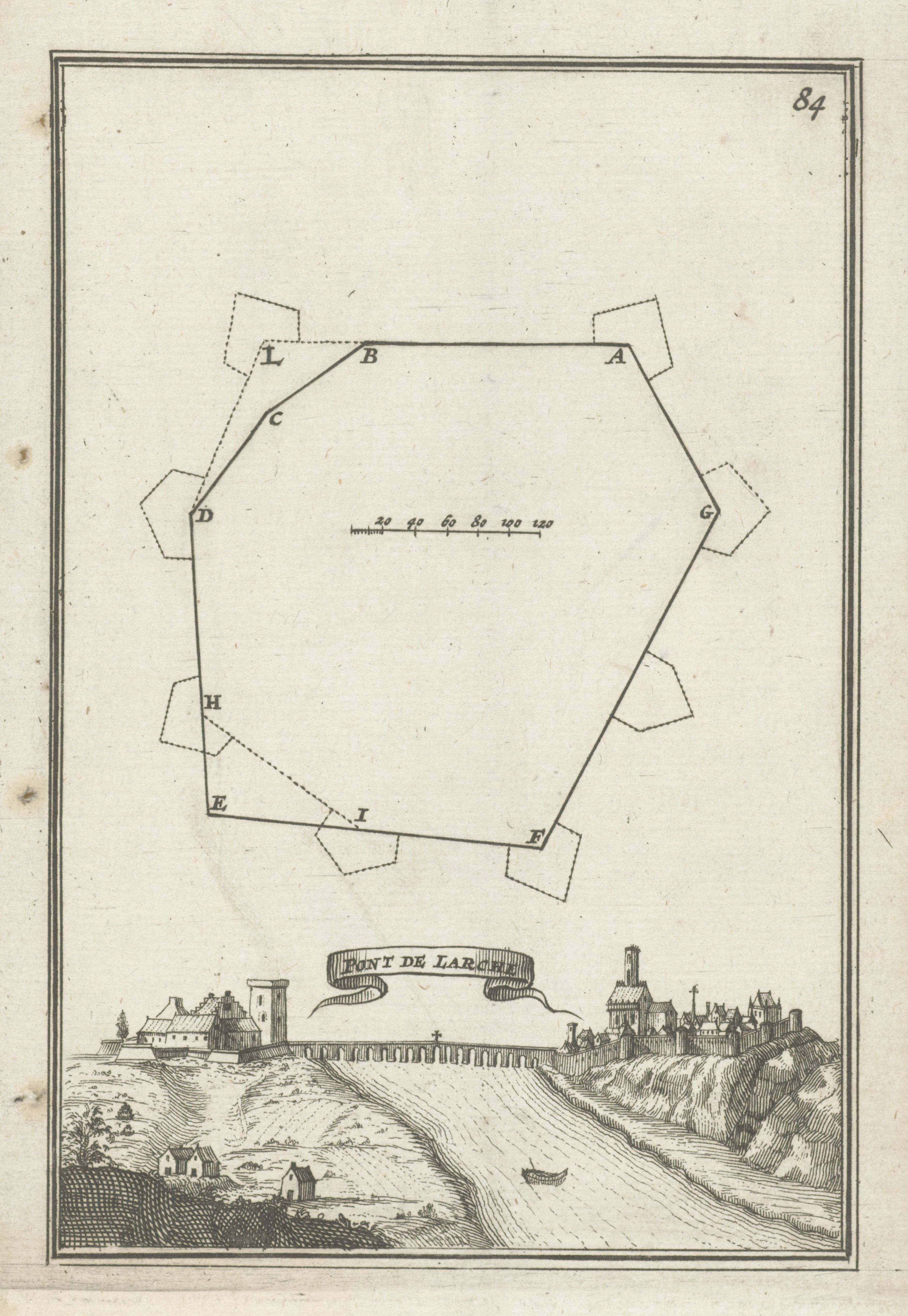
This is a vintage map and landscape illustration. The top portion of the image features a schematic, bird's-eye view of a star-shaped fortification. It's outlined with thin, dark lines and labeled with letters (A through L) at each point of the star. A scale is included, measuring in units of 50, 60, 80, 100, and 120. The lower portion of the image depicts a landscape with a town nestled along a body of water. The town is composed of numerous buildings, including a prominent tower and a church. The landscape includes rolling hills, trees, and a bridge spanning the water. The style is reminiscent of 18th or 19th-century topographical illustrations. A banner with the text 'PONT DE LARS' is visible above the town. The overall tone is sepia, giving it an aged appearance. The number '84' is written in the upper right corner.