fortificationlandscapetreesbuildingsriverhillsfortwaterroadcitywallgatebridgemoattowerstructureterraindrawingsketchengravingillustrationhistoricalaerial viewplandesignarchitecturemilitarydefensestrategybattlesiegewarfarehistorical documentmapdiagramartworkgraphicvisualimagedrawingsketchengravingillustrationhistoricalaerial viewplandesignarchitecturemilitarydefensestrategybattlesiegewarfarehistorical documentmapdiagramartworkgraphicvisualimagefortificationcitylandscapehistoricalengravingmilitaryarchitecturedefensestrategywarfare
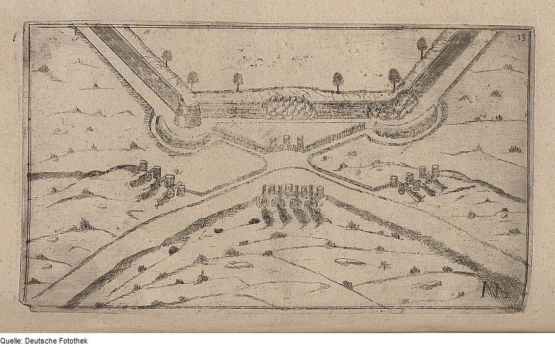
The image is a historical engraving or sketch depicting a fortified city or settlement. It appears to be an aerial view or plan, showing the layout of the fortifications and surrounding landscape. The city is surrounded by a complex system of walls, moats, and towers. There are several buildings within the city walls, and a river or stream flows through the area. The surrounding landscape is hilly and covered with trees. The style of the drawing suggests that it is a historical document, possibly a military plan or map. The image is monochromatic, with fine lines and details. The overall impression is one of a well-defended and strategically located settlement.
License: CC0