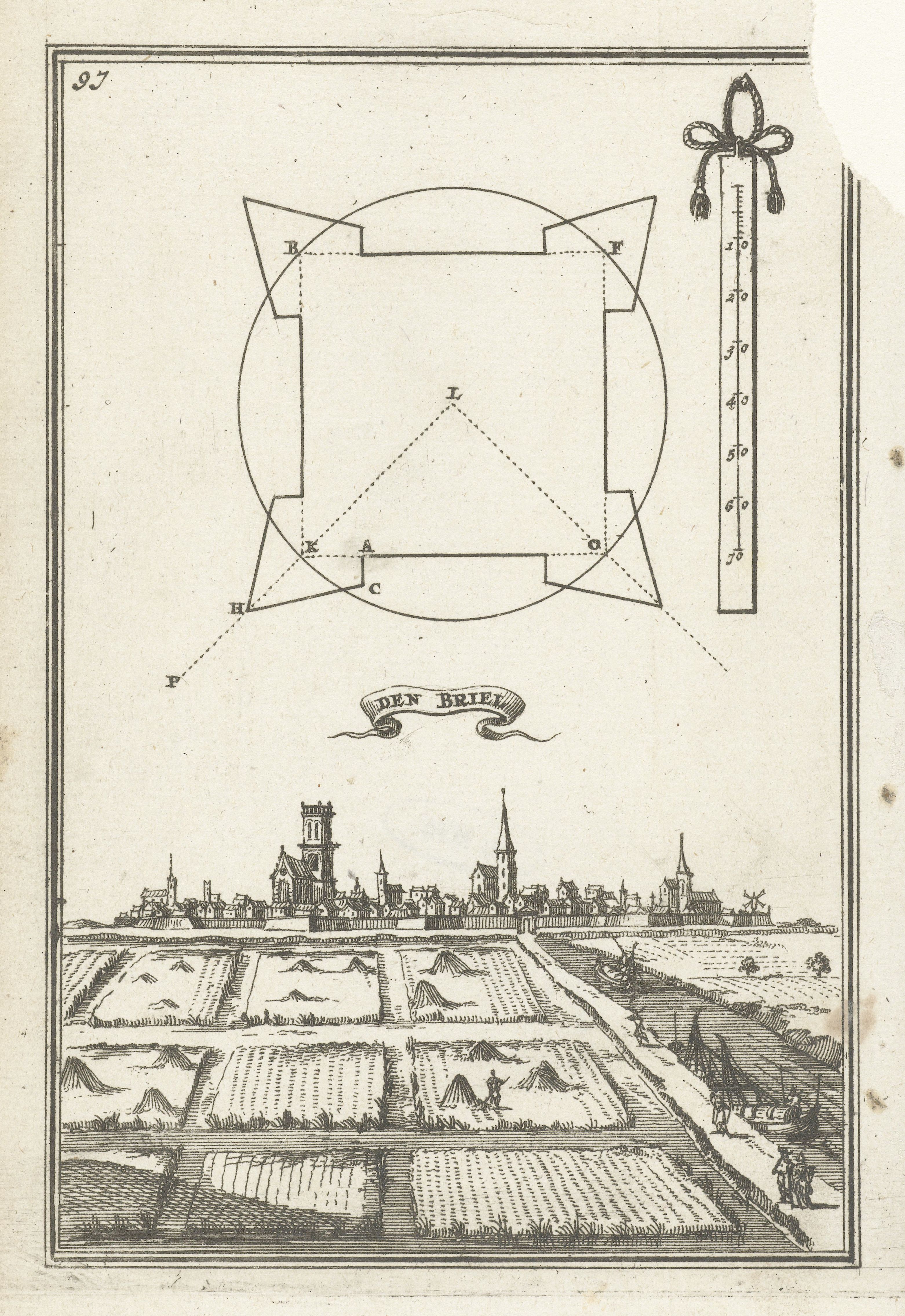
This is a vintage black and white illustration, likely from a historical or geographical text. It features a combination of a map-like diagram of a castle and a detailed landscape view of a town. **Top Section:** A schematic diagram of a castle is prominently displayed. It's a polygonal shape with bastions at each corner, labeled with letters (A, B, C, etc.). Lines connect the corners, forming a network within the castle's outline. A scale is present in the upper right corner, marked with numbers and units. **Middle Section:** Below the castle diagram is a banner with the words "DEN BRIEL" inscribed on it. **Bottom Section:** A detailed landscape view of a town is depicted. The town features numerous buildings, including a prominent church tower. The landscape includes fields, trees, and hills. Several figures on horseback are visible in the foreground, adding a sense of scale and activity. The illustration is rendered in a detailed, cross-hatched style, typical of historical engravings. The overall impression is one of a historical record or depiction of a fortified town and its surrounding landscape.