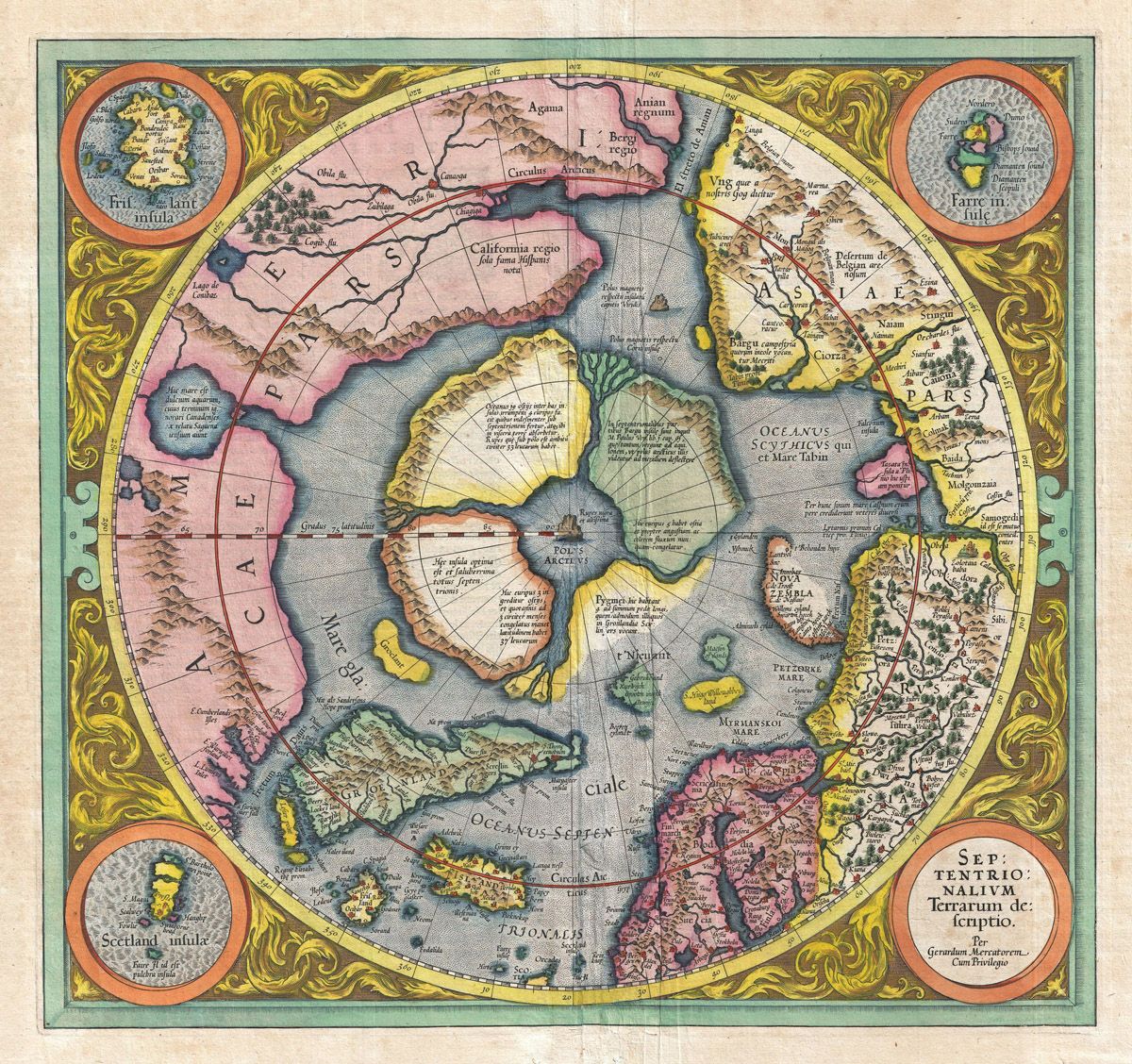
This is a visually striking antique world map, likely dating back to the 17th century. It's rendered in a vibrant color palette, with a focus on blues, pinks, greens, and yellows. The map is a polar projection, centered on the North Pole, which is depicted as a large, ornate area. The continents are recognizable, though their shapes and sizes are somewhat distorted compared to modern maps. North and South America are present, with California depicted as an island. Asia, Europe, and Africa are also clearly visible, though their boundaries and internal features are different from contemporary maps. A large landmass labeled 'Terra Australis Incognita' occupies much of the southern portion of the map, indicating the unknown southern continent. The oceans are colored in shades of blue and are filled with decorative illustrations of sea monsters, ships, and wind heads. The map is surrounded by an elaborate decorative border featuring ornate designs, figures, and cartouches with text in Latin. The overall impression is one of a beautiful and historically significant artifact, showcasing the cartographic knowledge and artistic style of its time.