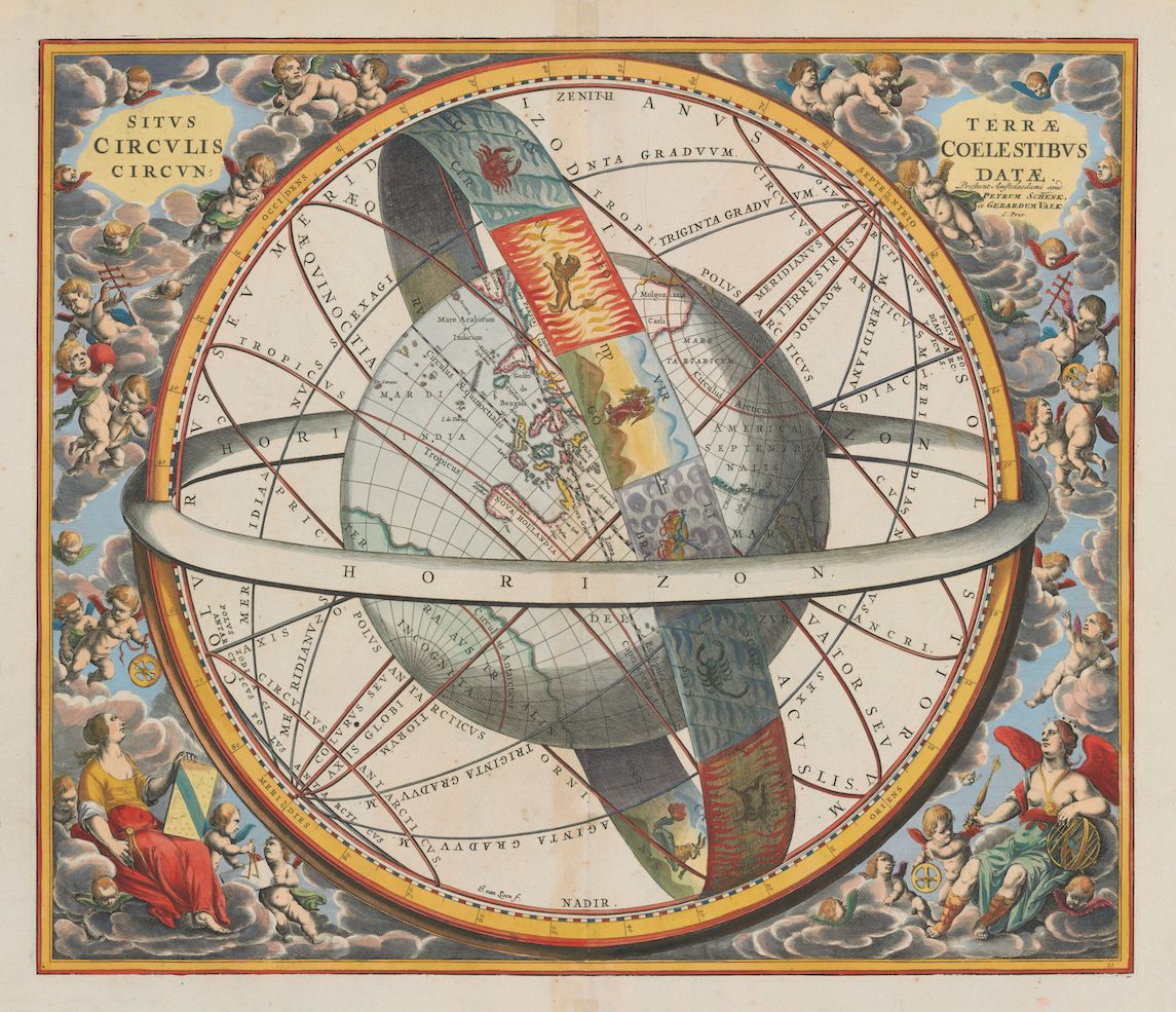
This is a detailed, antique-style illustration of a celestial globe or map. The central focus is a world map depicted within a complex spherical framework. The map itself shows continents, oceans, and geographical features in a style reminiscent of 17th or 18th-century cartography. The continents are detailed, with recognizable shapes of Africa, Europe, Asia, and parts of the Americas. Surrounding the map is a series of concentric circles and bands. These are labeled with Latin text and symbols, likely representing astronomical or astrological concepts. There are lines indicating the tropics, equator, and other celestial coordinates. Around the outer edge of the sphere are allegorical figures representing the four seasons or winds. They are depicted in classical attire and pose, adding to the artistic and symbolic nature of the illustration. The background is filled with stylized clouds and celestial elements, creating a sense of depth and atmosphere. The overall color palette is muted, with shades of blue, brown, and gold dominating the composition. The illustration is highly detailed and intricate, with a focus on both geographical accuracy and symbolic representation. It appears to be a print or engraving, with fine lines and textures visible throughout the image.