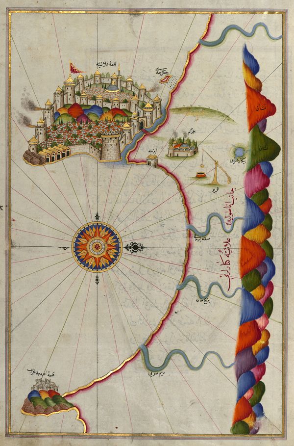
This is a detailed, antique map with a distinctive artistic style. The background is a faded, creamy parchment color, covered with a network of fine, radiating lines that resemble latitude and longitude lines, but are more decorative than precise. The focal point is a large, intricately illustrated city, likely Constantinople (Istanbul), depicted as a sprawling complex of buildings, towers, and walls. The city is rendered in shades of brown, gray, and green, with a dense arrangement of structures suggesting a bustling urban center. The city is surrounded by a pink-colored landmass. To the right of the city, a stylized coastline snakes down the page. The coastline is not realistic but is represented by a series of colorful, overlapping, and undulating shapes in shades of purple, orange, red, and blue. These shapes suggest hills, mountains, or land formations along the coast. Scattered along the coastline and near the city are small, detailed illustrations of ships, suggesting maritime activity. There are also small, green, island-like landmasses with trees. In the lower left corner, there's a prominent compass rose with a complex, radial design in shades of orange, blue, and white. The compass rose is surrounded by decorative elements. Throughout the map, there are inscriptions in an Arabic script, labeling various locations and features. The overall style is reminiscent of Ottoman or Islamic cartography, with a focus on artistic representation and symbolic imagery rather than strict geographical accuracy.