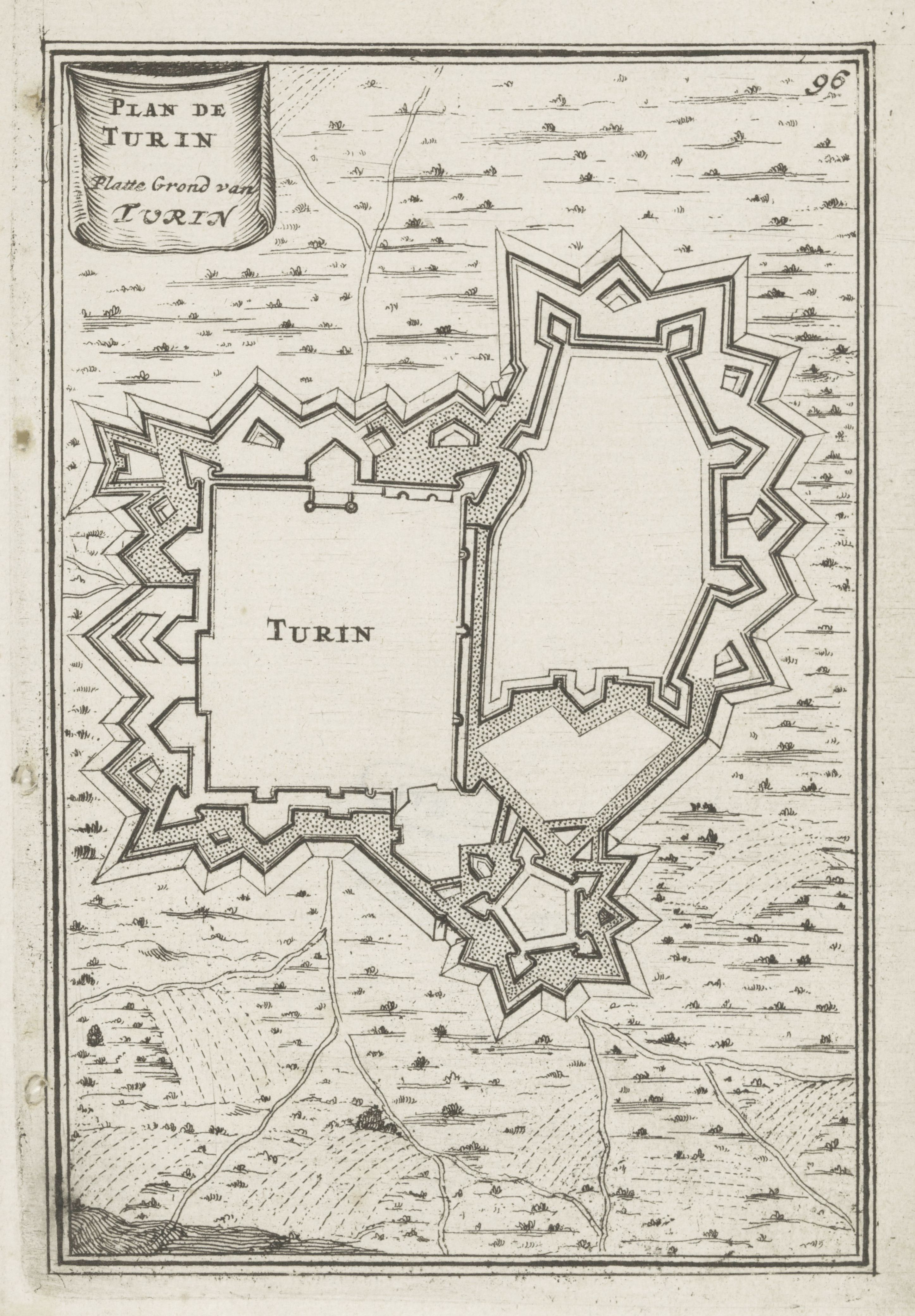
This is a vintage map of Turin, Italy, rendered in a detailed, illustrative style. The map is dominated by a complex, star-shaped fortification system surrounding the city center. The fortifications consist of bastions, walls, and moats, all meticulously drawn with fine lines. The city itself is represented by a blank space within the fortifications, with the word 'TURIN' prominently displayed in the center. Outside the fortifications, the landscape is depicted with numerous small trees, suggesting a wooded area surrounding the city. The trees are stylized and repetitive, adding to the overall illustrative quality of the map. In the upper left corner, there's a rectangular cartouche containing text in French and Dutch, identifying the map as a 'Plan de Turin' and 'Platte Ground van Turin'. A number '96' is also present in the upper right corner. The map is drawn on a cream-colored paper with a slightly aged appearance, and the lines are black ink. The overall impression is that of a historical document, likely from the 17th or 18th century, showcasing the city's defenses and surrounding landscape.