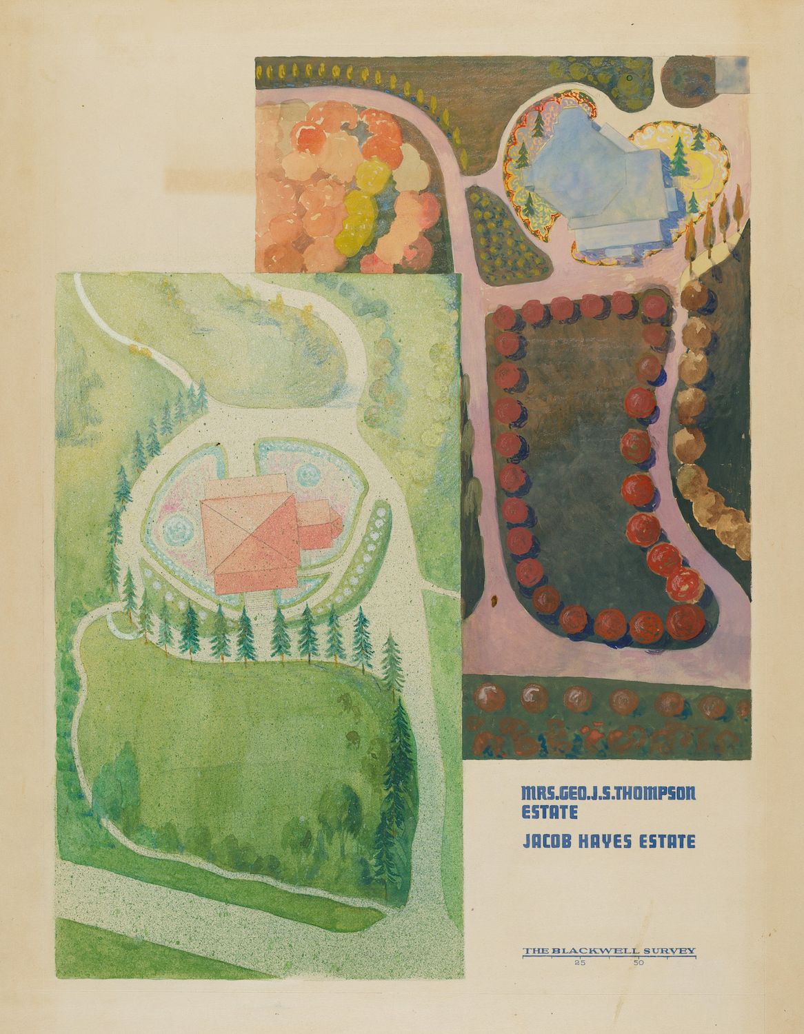
This is a vintage, hand-colored map or plan of an estate, likely from a historical survey. The map is divided into two main sections, each depicting a portion of the grounds. The left section shows a large, sprawling lawn surrounded by dense evergreen trees. A pink-colored house is centrally located on the lawn, with a curved driveway leading up to it. The lawn is a vibrant green, and the trees are depicted as individual, stylized shapes. The right section shows a more formal garden area. It features a circular flower bed filled with orange and red blooms, surrounded by a winding path. There are also areas of green lawn and stylized trees. Below the map sections, there is text identifying the estate as belonging to "Mrs. Geo. J. Thompson" and "Jacob Hayes Estate". Below that is a line reading "The Blackwell Survey" with a number "35" underneath. The overall style of the map is reminiscent of early 20th-century landscape architecture plans, with a focus on color and stylized representation rather than precise detail.