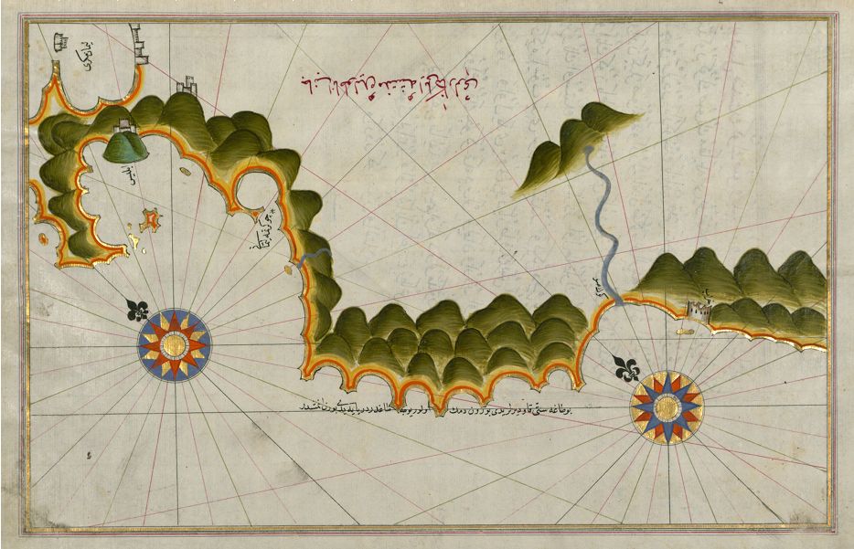
This is a detailed, antique map with a distinctive style. The map depicts a coastline with a complex, jagged shape. The landmass is rendered with a series of overlapping, dark green, mountain-like shapes, creating a textured, almost layered effect. These shapes are not realistic mountains, but rather a stylized representation of the land's topography. Along the coastline, there are small, detailed depictions of cities, represented as miniature buildings. A winding river flows into the sea, adding to the complexity of the landscape. The sea itself is filled with a grid of fine, intersecting lines, creating a pattern that suggests depth and movement. Two prominent compass roses are visible, one in the lower left and another in the upper left corner. These compass roses are intricately designed with multiple points and colors, including red, blue, and white. Arabic script is present throughout the map, labeling various locations and features. The text is carefully rendered and adds to the map's historical and cultural significance. The overall color palette is muted, with shades of beige, green, and brown dominating the scene. The map appears to be drawn on parchment or a similar aged material, with visible signs of wear and tear. The style of the map suggests it is a historical Ottoman or Islamic cartographic work.