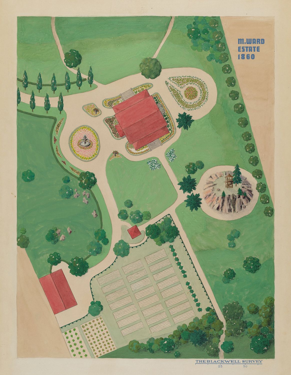
This is a vintage, bird's-eye view map of the M. Ward Estate from 1860, titled 'The Blackwell Survey'. The map is rendered in a muted, aged color palette, primarily greens, reds, and browns. The estate is laid out with a large, rectangular garden area dominating the lower portion of the map. This garden is divided into a grid of smaller plots, likely for cultivation. Adjacent to this garden is a sprawling lawn area with a variety of trees, both individual and in clusters. At the center of the estate is a large, red-roofed building, likely the main house. It is surrounded by a circular, decorative flowerbed and a fountain. A winding path leads from the house through the lawn. Further up the map, there's another smaller building with a red roof. The entire estate is bordered by trees, creating a sense of enclosure and privacy. The map is detailed, showing the layout of the gardens, paths, and landscaping. The style is reminiscent of historical estate maps, with a focus on the formal arrangement of the grounds.