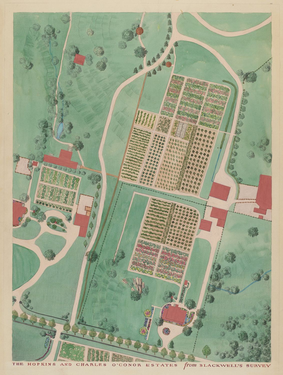
This is a vintage, hand-colored map or plan of an estate, likely from a historical survey. The map is viewed from above, showing a large, rectangular garden as the central feature. This garden is meticulously divided into numerous smaller rectangular plots, suggesting it was used for cultivation. The garden is surrounded by expansive green lawns and mature trees, creating a park-like setting. Several buildings are scattered around the estate, including what appear to be a main house, outbuildings, and possibly a greenhouse. Winding paths connect the buildings and garden areas. The color palette is dominated by shades of green and brown, with touches of red and blue used to highlight certain features. The style of the map is reminiscent of historical estate plans, with a focus on detail and accuracy. The text at the bottom reads 'THE HOPKINS AND CHARLES O'CONOR ESTATES from BLACKWELL'S SURVEY'. The overall impression is one of a well-maintained and carefully planned estate, likely belonging to a wealthy family or landowner.