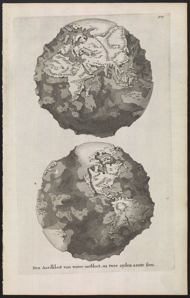
The image is a vintage illustration featuring two depictions of a globe, split down the middle as if cut open. The style is reminiscent of old cartography, with detailed, hand-drawn-like features. The top globe shows a landmass with intricate patterns representing mountains, forests, and possibly rivers. The land is surrounded by water, and the overall shape is somewhat irregular, not a perfect sphere. The bottom globe is similar, but with slightly different landmass configurations and shading. Both globes appear to be cut in half vertically, revealing a cross-section. Below the globes, there is text in an old-fashioned script, likely a caption or description in a language other than English. The paper has a slightly aged, yellowish tone, and there's a number '309' in the top right corner. The overall impression is that of a historical map or scientific illustration.