globemapnorth poleafricaeuropeatlantic oceanlinestextearthglobemapnorth poleafricaeuropeatlantic oceanvintageillustrationengravinggeography
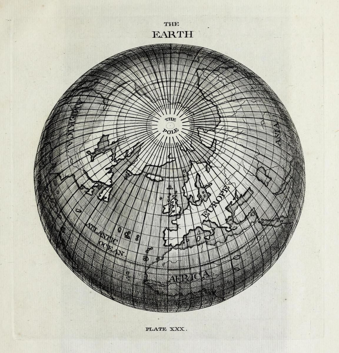
The image is a vintage illustration of the Earth, depicted as a globe with a focus on the Northern Hemisphere. It's rendered in a detailed, cross-hatched style, typical of older engravings. The globe is centered on the North Pole, which is labeled with the text 'THE POLE' within a circular area. Continents are outlined, with Africa and Europe prominently visible. The Atlantic Ocean is also labeled. A grid of lines covers the globe, representing lines of latitude and longitude. These lines are closely spaced and create a textured appearance. The illustration is framed by text at the top that reads 'THE EARTH' and at the bottom 'PLATE XXX.'. The overall aesthetic is reminiscent of a historical map or geographical illustration.
License: CC0