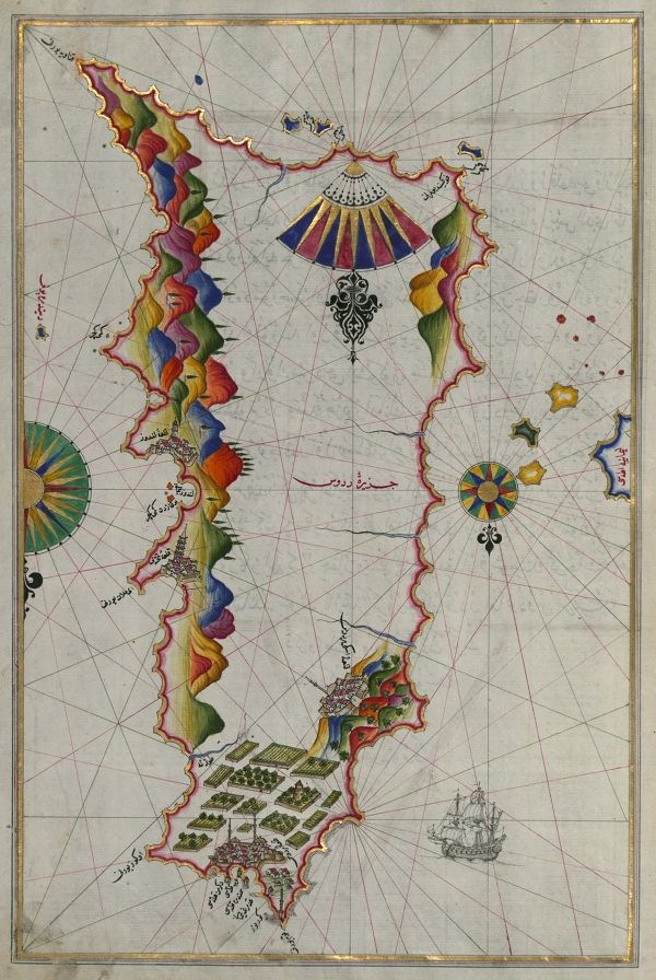
This is a detailed, antique map depicting a coastline and sea area. The map is rendered in a vibrant, illustrative style, likely from a historical Ottoman or Middle Eastern cartographic tradition. The coastline is highly stylized, with a series of colorful, layered mountains depicted in shades of green, yellow, red, and blue. These mountains run along the edges of the map, creating a dramatic and decorative border. The sea is a pale beige color, crisscrossed with delicate, radiating lines that suggest currents or wind patterns. Several cities are depicted along the coastline, represented as clusters of small buildings. These cities are rendered in a simplified, almost symbolic style. There are also a few small islands scattered throughout the sea. Decorative elements include a large, ornate compass rose in the center of the map, and a detailed ship illustration in the lower right corner. The map is covered in Arabic or Ottoman Turkish text, labeling the various locations and features. The overall impression is one of artistry and historical significance, showcasing a unique cartographic style.