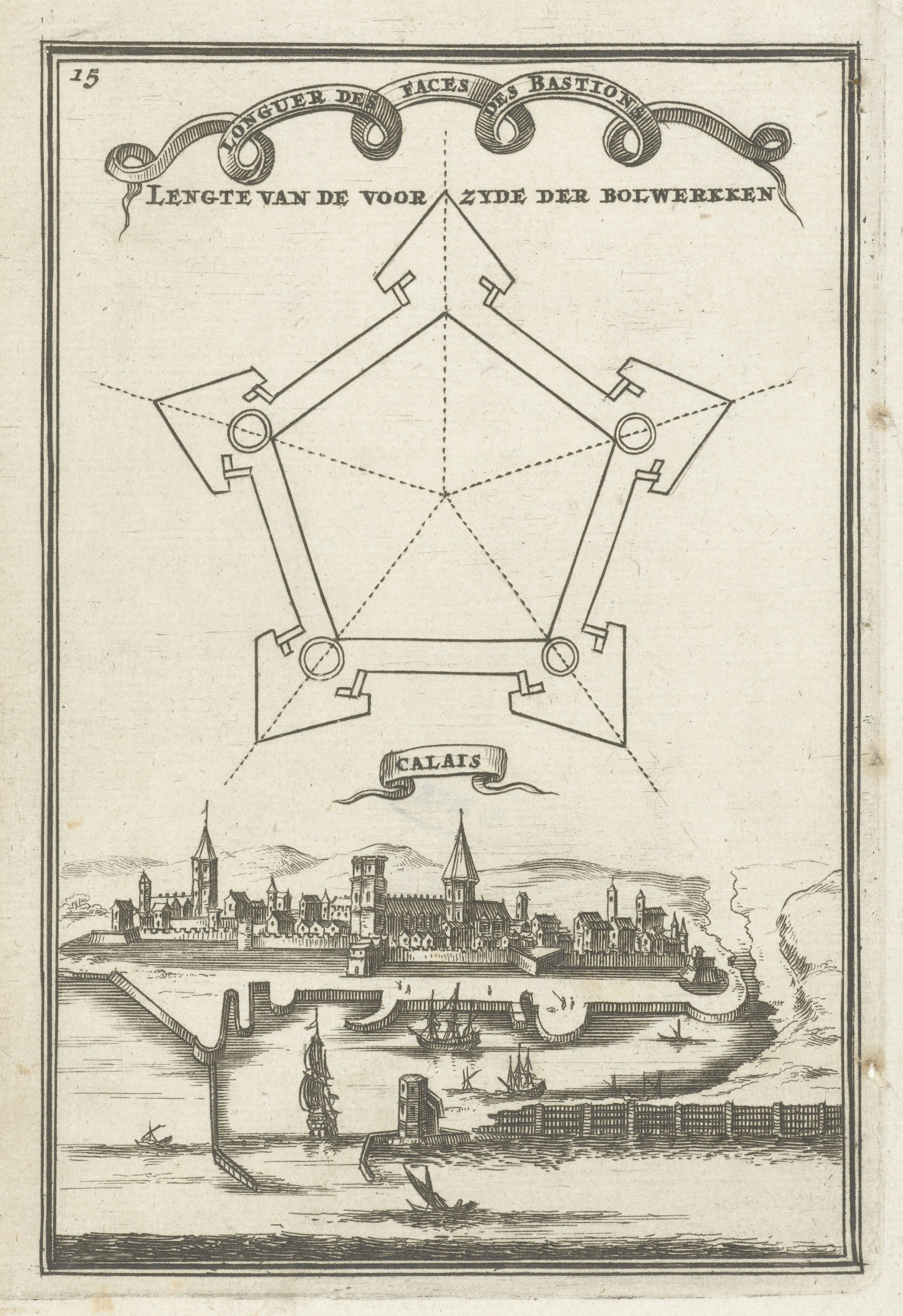
This is a vintage engraving depicting the city of Calais, France, with a detailed plan of its fortifications above. The upper portion of the image features a geometric diagram of the city's fortifications. It's a star-shaped plan with bastions extending outwards. Lines and symbols indicate the layout of the walls, towers, and defensive structures. Text in an old-fashioned script is curved above the diagram, likely labeling the different parts of the fortification. Below the diagram is a detailed view of the city itself. Calais is depicted as a densely built-up area with numerous buildings, towers, and churches. The city is situated on the coast, with a harbor filled with several ships. The water is depicted with wavy lines, suggesting movement. A section of the city's walls and towers runs along the coastline. Clouds are visible in the sky, adding depth to the scene. The overall style of the engraving is intricate and detailed, typical of historical maps and city views. The number '15' is visible in the upper left corner, possibly indicating a page number or plate number. The word 'CALAIS' is written below the city view.