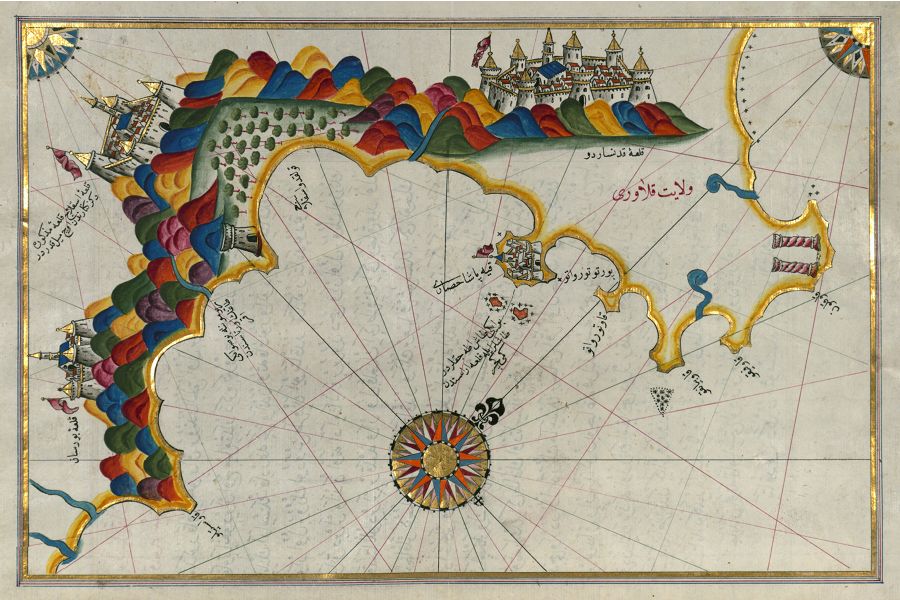
This is a detailed, antique map with a vibrant, illustrative style. The map depicts a coastline with a large bay or sea. The land is rendered in a colorful, almost whimsical manner, with mountains depicted as layered, colorful formations in shades of green, red, and brown. Buildings, likely cities or fortresses, are drawn in detail along the coastline, featuring towers, domes, and intricate architectural designs. Trees are scattered across the landscape, adding to the detailed rendering of the terrain. The water is a pale blue, with radiating lines extending from the center, suggesting a nautical chart. A prominent compass rose is located in the center of the water area, with intricate designs and radiating lines. Arabic or Ottoman script is visible throughout the map, labeling locations and features. Small islands are scattered along the coastline. The overall style is reminiscent of Ottoman or Persian cartography, with a focus on artistic representation rather than strict geographical accuracy. The map is aged, with a slightly faded and textured appearance, suggesting it is a historical document.