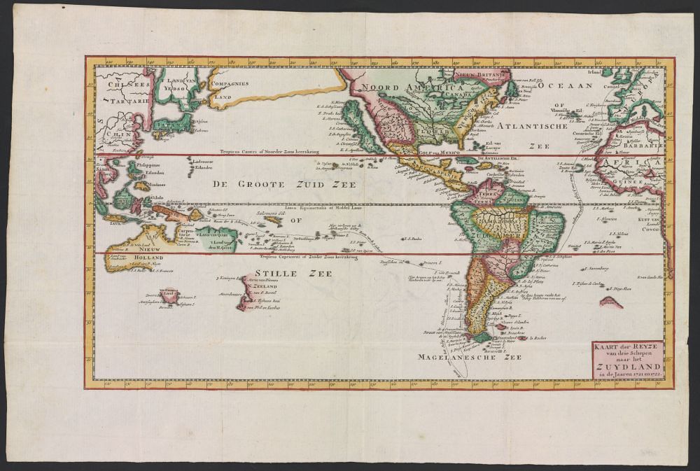
This is a vintage map with a pale yellow background. It depicts a world map, focusing on the Americas, Asia, and the Pacific and Atlantic Oceans. The map is richly colored, with green representing landmasses, blue for water bodies, and red and pink used for borders and details. The Americas are prominently displayed, with North and South America clearly delineated. Asia is shown to the left, with detailed coastlines and regions. Numerous islands are scattered throughout the Pacific and Atlantic Oceans, including the Philippines, Japan, and New Zealand. The map is filled with text in a historical script, labeling various regions, cities, and geographical features. The text is primarily in Dutch, indicating the map's origin. The map also includes decorative elements, such as compass roses and ornate borders. In the bottom right corner, there is a title or legend in Dutch, providing information about the map's content and creator. The overall style of the map is reminiscent of 17th or 18th-century cartography, with a focus on detail and artistic representation.