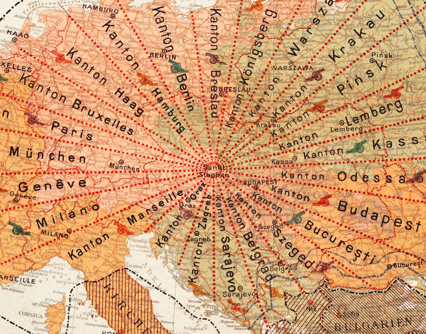
The image is a close-up of a vintage map, likely from the early 20th century, with a focus on Central and Eastern Europe. The map is rendered in a muted color palette of orange, beige, and brown. The map is densely labeled with city names in a gothic-style font. Prominent cities visible include München (Munich), Genève (Geneva), Milano (Milan), Paris, Berlin, Warsawa (Warsaw), Krakau (Kraków), Lemberg (Lviv), Odessa, Budapest, and Sarajevo. The map is marked with numerous small, red dots, seemingly indicating locations or settlements. Overlaid on the map are the words "Kanton" (German for canton or district) repeated multiple times, suggesting a political or administrative division. These words are placed near or over cities, indicating that these cities are centers of these cantons. The map also features dashed and solid black lines, likely representing borders, roads, or railway lines. There's a section with a cross-hatched pattern, possibly indicating a different geographic or political region. The overall impression is of a detailed, historical map with a focus on administrative divisions and city locations.