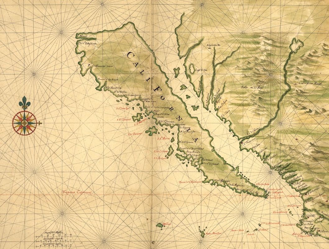
The image is a vintage map, likely from the 18th or 19th century, depicting a coastline with numerous islands and bays. The map is rendered in a faded, sepia-toned color palette, giving it an aged appearance. The coastline is irregularly shaped, with many inlets, peninsulas, and small islands scattered along it. The landmasses are colored in shades of green, suggesting vegetation or land cover. The water areas are left blank, creating a contrast between land and sea. Numerous place names and labels are written in a cursive script, indicating towns, bays, islands, and other geographical features. The text is primarily in a language that appears to be French or Spanish, given the style of writing and the names used. A prominent compass rose is located in the lower-left corner of the map. It features ornate designs and directional markings, indicating the cardinal directions (North, South, East, West). The compass rose is colored in shades of red, green, and black. The map is overlaid with a grid of fine lines, forming a network of latitude and longitude coordinates. These lines help to pinpoint specific locations on the map and provide a sense of scale. The overall impression is that of a historical navigational chart, used by sailors and explorers to map and navigate the coastline. The map is detailed and intricate, with a wealth of information about the geography and topography of the region.