mapcontinentoceantextmapworldvintagecartographygeographycontinentsoceansillustrationengravinghistorical
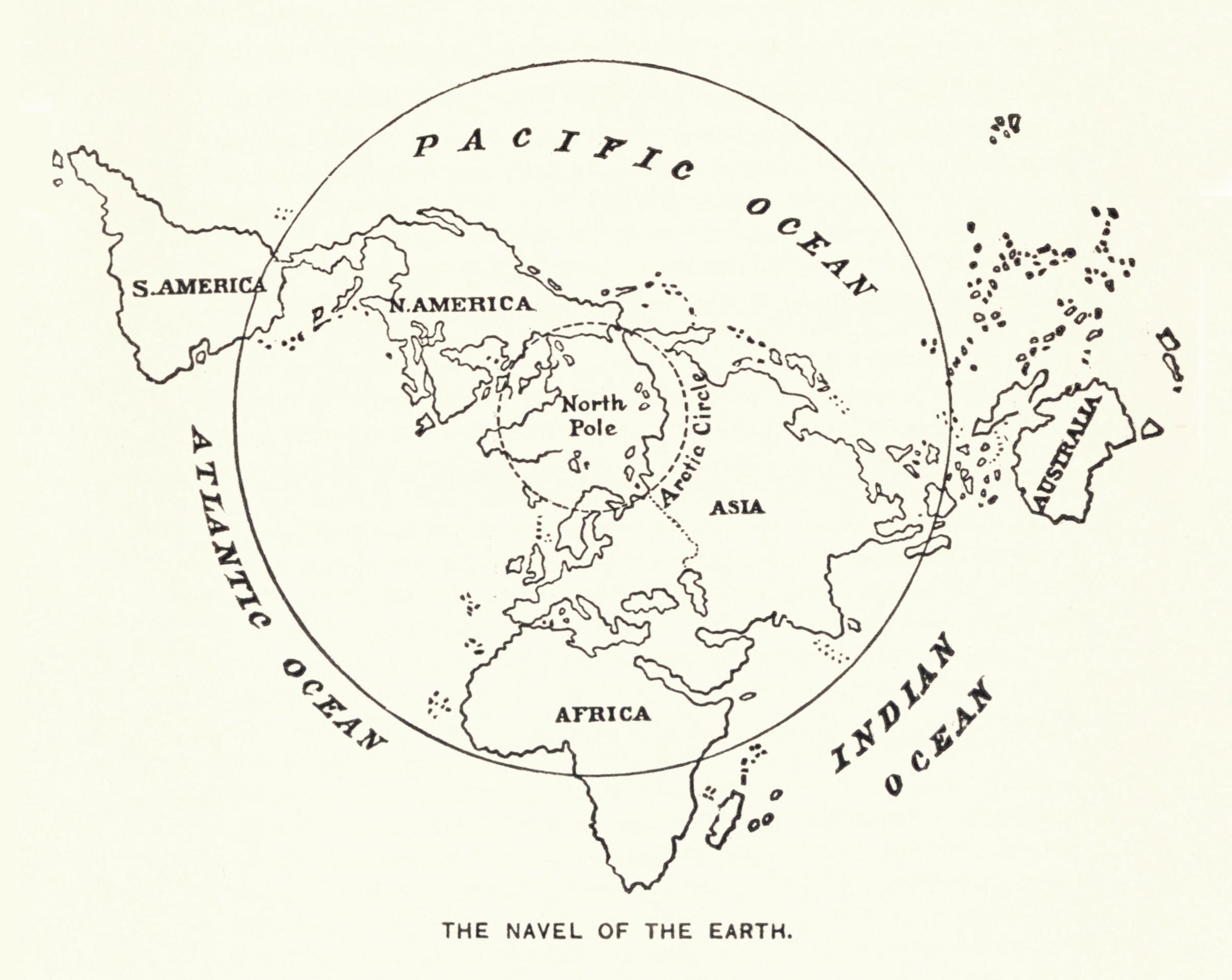
The image is a vintage-style map of the world, presented in a circular format. It's drawn in a simple, black-and-white line style, reminiscent of an old engraving. The continents are outlined and labeled: South America, North America, Asia, and Africa are clearly visible. Australia is also present, though smaller in scale. The oceans surrounding the continents are labeled as the Pacific Ocean, Atlantic Ocean, and Indian Ocean. The North Pole is marked at the center of the map. The map is enclosed within a circular border. Below the map, the text 'THE NAVEL OF THE EARTH' is written in a simple font. The overall aesthetic is reminiscent of historical cartography, with a focus on outlining landmasses and labeling key geographical features.
License: CC0