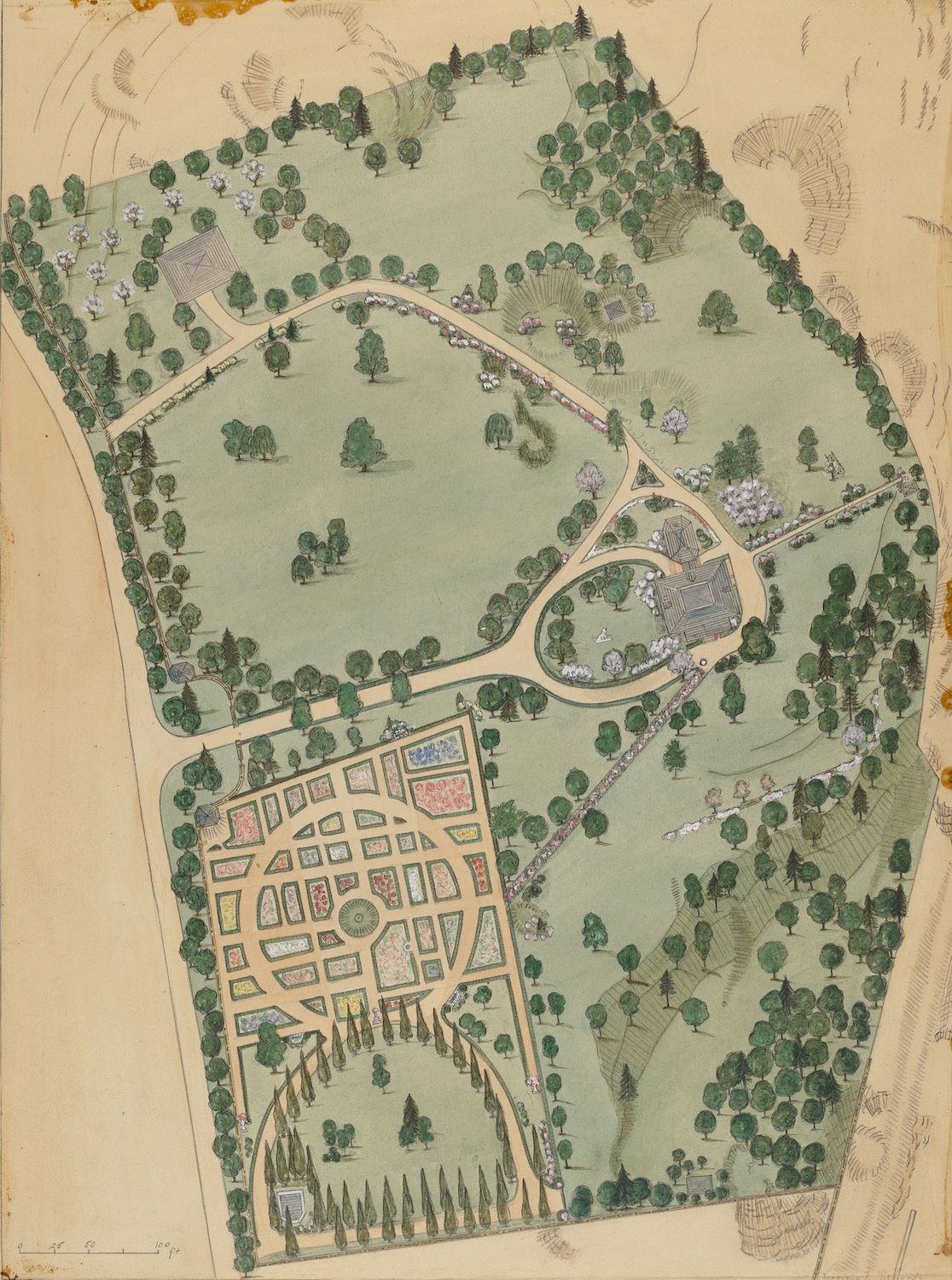
This is a vintage, hand-drawn plan or map of a formal garden and surrounding landscape. The paper has a warm, aged tone with some discoloration and wear around the edges. The garden is the focal point, featuring a highly structured layout with numerous rectangular and square flowerbeds, separated by pathways. The beds are filled with different colors, suggesting a variety of plants. The garden transitions into a more naturalistic landscape with scattered trees and winding paths. A larger building or structure is visible at the edge of the landscape, possibly a manor house or pavilion. The entire area is enclosed by a border of trees, creating a sense of seclusion and formality. The style of the drawing suggests it was created in the late 19th or early 20th century, possibly as a design plan for a grand estate. The map includes a scale at the bottom, indicating measurements in feet.