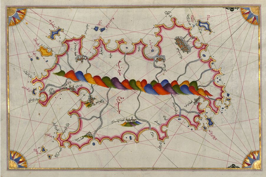
This is a detailed, antique map with a distinctive artistic style. The map depicts a coastline with numerous bays, inlets, and islands. The landmasses are rendered in a stylized manner, with pink borders outlining the coastlines and islands. The interior of the landmasses features depictions of cities, represented by miniature buildings, and mountains, indicated by small, conical shapes. A prominent feature of the map is a winding, serpentine river that bisects the landmass, colored in alternating bands of blue, red, and green. The sea surrounding the landmass is filled with intricate patterns and decorative elements. A compass rose is visible in the lower right corner, and the map is covered with Arabic text, likely labeling locations and features. The overall aesthetic is ornate and decorative, characteristic of historical cartography.