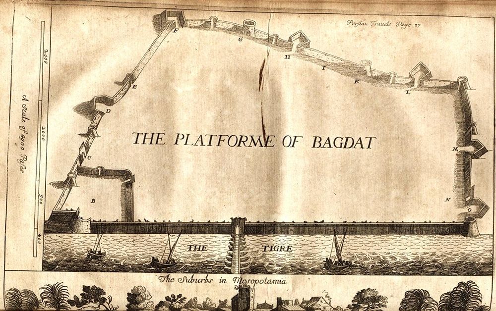
This is a vintage, sepia-toned illustration of a map depicting the platform of Baghdad. The map is a bird's-eye view of the city, showing its fortifications, walls, towers, and gates. A river, labeled 'The Tigre', runs along the bottom of the map, and a bridge spans across it. The city is enclosed by a complex network of walls and towers, with various points labeled with letters (A, B, C, etc.). At the top right corner, there's text that reads 'Perstan Travels Page 27'. On the left side, a scale is indicated with measurements in 'Paces'. The central area of the map is dominated by the text 'THE PLATFORME OF BAGDAT'. Below the city, the text 'The Suburbs in Mesopotamia' is visible. The style of the illustration is reminiscent of historical maps and engravings, with detailed linework and a slightly aged appearance. The overall impression is that of a historical document or travelogue depicting the layout of Baghdad in a bygone era.