fortificationmapdrawingstar fortcity planscaletextfortificationstar fortcity planmapdrawingvintagesepiahistoricalmilitary architectureengineering drawing
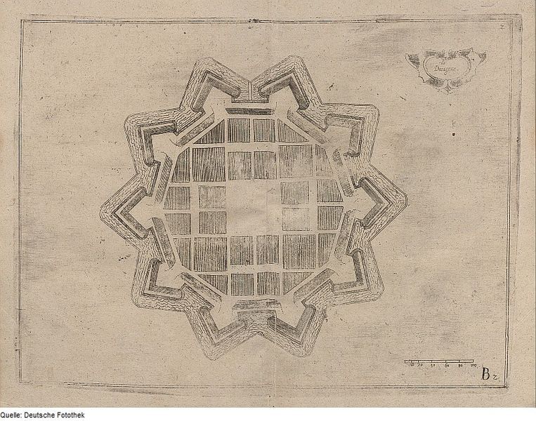
The image is a vintage, sepia-toned drawing of a star-shaped fortification, likely a city plan or map. The fortification is rendered in a detailed, linear style, with intricate lines depicting the walls, bastions, and internal structures. The fort has a complex, star-like shape with multiple pointed bastions extending outwards. Inside the walls, a grid-like pattern represents the city layout, with rectangular blocks suggesting buildings or city blocks. A scale is present at the bottom of the image, marked with units of measurement. There is also some text in the upper right corner, possibly a title or legend. The overall aesthetic is reminiscent of historical cartography and military engineering drawings.
License: CC0