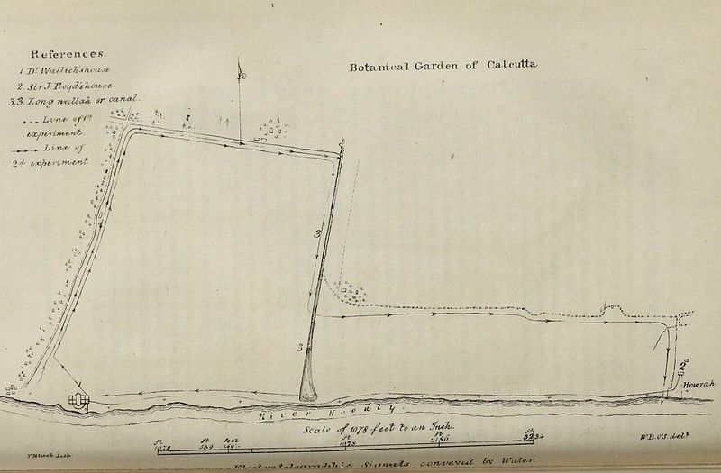
The image is a vintage, hand-drawn map titled "Botanical Garden of Calcutta". It's rendered in a sepia tone, giving it an aged appearance. The map depicts the layout of the garden, bordered by a river labeled "River Hooghly" at the bottom. A canal runs along one side of the garden. The garden itself is outlined by a series of connected lines, forming an irregular polygon. Within the garden, there are numerous small dots and lines, likely representing plants, pathways, or experimental plots. On the left side of the map, a "References" section lists key features with numbers: 1. Dr. Wallich's house, 2. Sir J. Royle's house, and 3. Long nullah or canal. Lines are also labeled as "Line of 1st experiment" and "Line of 2nd experiment". At the bottom, a scale is provided: "Scale of 176 feet to an Inch". The map also includes text indicating the river's influence on the land: "Most of the landship. Slopes conveyed by Water". There are also numbers and symbols scattered throughout the map, likely denoting specific locations or features within the garden. The map appears to be a detailed plan of the botanical garden, likely used for planning, documentation, or research purposes.