mapbookpagemapSouth AmericaCentral Americaantiquehistoricalcartographygeographybookhand-coloredaged paper
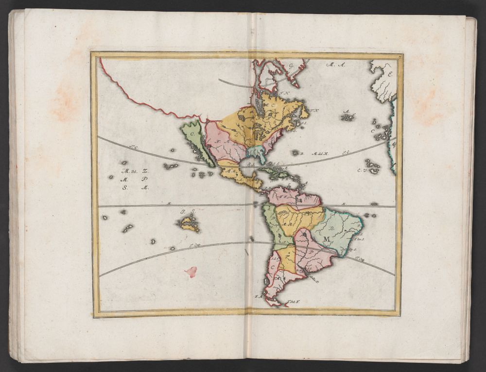
The image shows an open book with a hand-colored map of South and Central America on the right-hand page. The map is framed by a thin red border. The map itself is a vibrant mix of colors, with different regions delineated by shades of yellow, pink, green, and brown. The Caribbean Sea is dotted with small islands. The map includes handwritten labels and notations, likely indicating place names or political boundaries. The book's pages are aged and have a slightly textured appearance. The book is open to a spread, with the left page visible but mostly blank. The overall impression is that of an antique or historical document, possibly a cartographic atlas or geographical study.
License: CC0