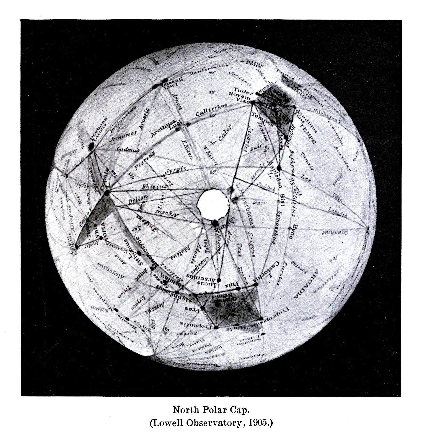
The image is a black and white map of the North Polar Cap, as indicated by the text below the image which reads "North Polar Cap. (Lowell Observatory, 1903.)". The map is a circular projection of the polar region, with a central white circle representing the pole itself. Radiating outwards from the central pole are numerous lines connecting various points on the map, forming a network of triangles and polygons. These lines are likely used to delineate different features or regions. Scattered across the map are numerous labels and names written in a small, cursive font. These labels appear to identify specific features or locations within the polar cap. The text is densely packed and covers much of the map's surface. The overall style of the map is reminiscent of early 20th-century cartography, with a focus on detailed labeling and geometric representation. The image has a slightly grainy texture, suggesting it may be a reproduction of an older drawing or print. The background is black, which makes the map stand out. There are also small dots scattered throughout the map, possibly representing specific points of interest or data markers.