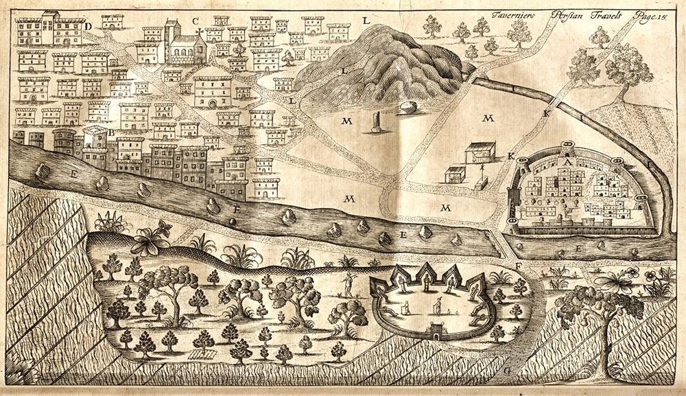
This is a detailed black and white engraving of a city and its surrounding landscape, likely a historical map or illustration. The city is densely packed with buildings, depicted as small rectangular blocks, creating a textured urban scene. A prominent feature is a large, fortified citadel or castle (labeled 'A') at the center, enclosed by thick walls and towers. The city extends outwards from this central fortress. To the left of the city, a winding river (labeled 'E') flows, bordered by dense vegetation and trees. The river bends around a smaller fortified area with buildings. To the right, a large, rugged mountain (labeled 'L') dominates the landscape. The area between the city and the mountain is dotted with trees and shrubs. Various labels (A, B, C, D, E, K, L, M) are scattered throughout the image, likely identifying specific locations or features. The style of the engraving is reminiscent of historical maps and illustrations, with a focus on detail and accuracy. The overall impression is of a well-defended city situated in a rugged and natural landscape. The top right corner includes the text 'Taverniers Persian Travell. Page. 18'.