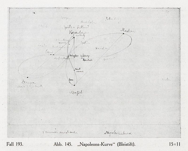
The image is a vintage, hand-drawn diagram on a slightly aged, off-white paper. It appears to be a map or a schematic, possibly related to military strategy or geographical analysis. The diagram is composed of a network of thin, dark lines and curves that intersect and connect various points marked by small dots. Several locations are labeled with handwritten German text, including names like 'Wurfel', 'Morian', 'Kopenhagen', and 'Bleistift'. There are also triangular shapes drawn within the network of lines, possibly representing fortifications or strategic positions. The overall style is reminiscent of historical military maps or sketches, with a focus on spatial relationships and connections between points. The paper shows signs of age, with some discoloration and minor imperfections. Below the diagram, there is handwritten text indicating 'Fall 193.' and 'Abb. 145. „Napoleons-Kurve“ (Bleistift).' and '15x11'.