mapcitybuildingswallstowerstextAntibesmapcity planhistorical mapvintageetchingwalled citytowersbuildings
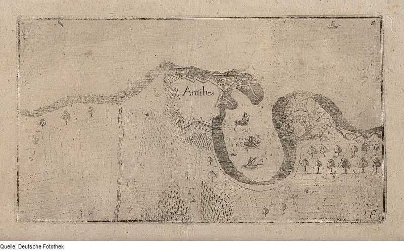
The image is a vintage, sepia-toned map or plan of the city of Antibes. It's rendered in a detailed, etched style, with fine lines creating the outlines of buildings, walls, and other features. The city is depicted as a walled settlement, with a winding, irregular shape. The walls are thick and fortified, punctuated by towers at intervals. Within the walls, numerous buildings are visible, represented as small, rectangular shapes. The layout of the city appears dense and compact. The map is labeled with the name 'Antibes' in a stylized font. The overall impression is one of a historical document, likely dating from the 17th or 18th century, showcasing the urban plan of Antibes during that period.
License: CC0