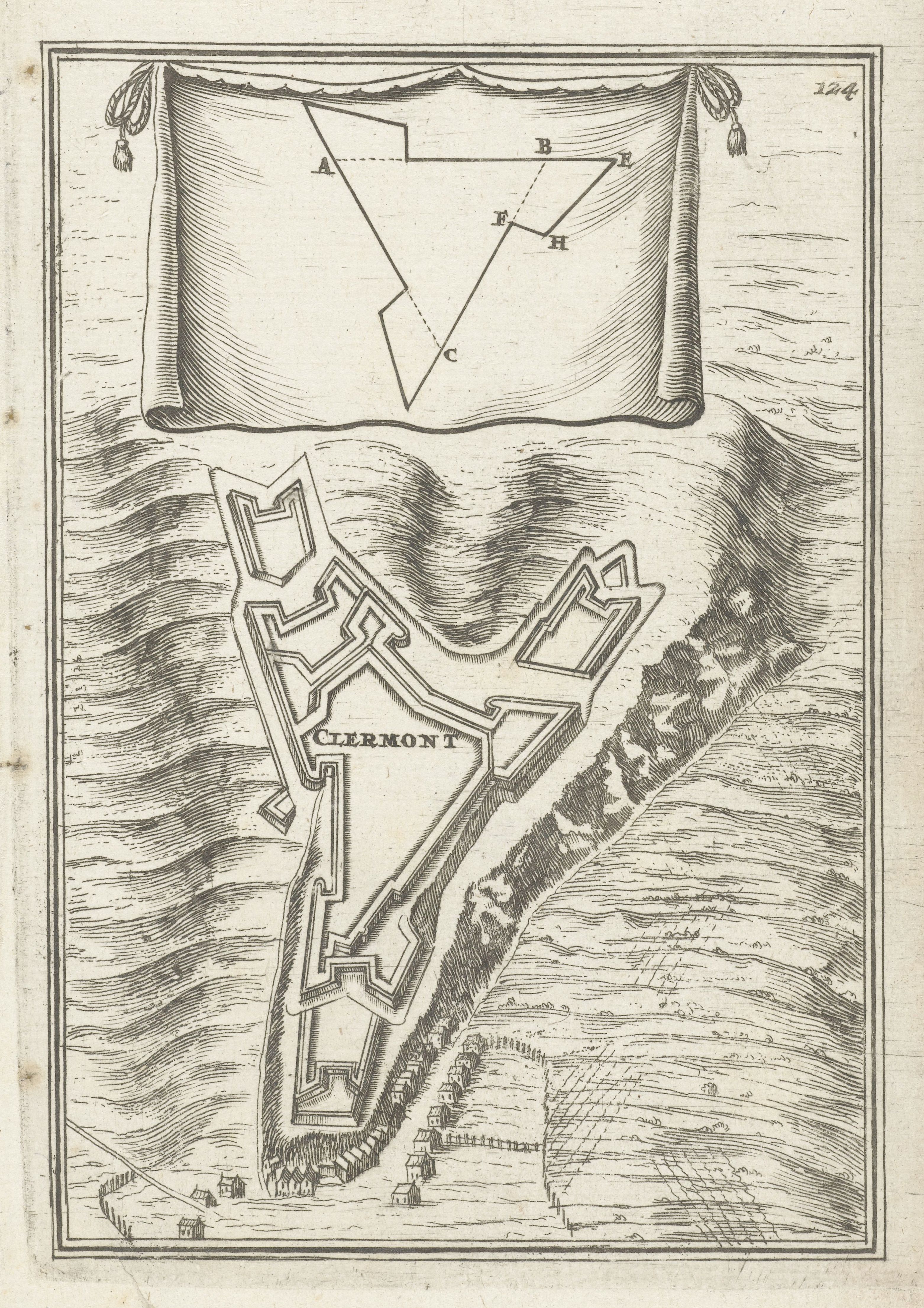
This is a vintage black and white engraving depicting a map of a fortified town, likely Clermont. The map is overlaid on a textured background that suggests a landscape with rolling hills and vegetation. The central focus is the detailed illustration of the fort, which has a complex star-shaped design with multiple bastions and walls. The fort is labeled 'CLERMONT' in bold, ornate lettering. The fort is surrounded by a network of lines representing roads or paths. Above the fort, there's a geometric shape resembling a banner or shield, with lines connecting points labeled A, B, C, D, E, F, H. This likely represents a diagram or plan related to the fort's defenses or layout. Below the fort, there are small illustrations of buildings, suggesting a town or settlement adjacent to the fort. The overall style is reminiscent of historical military maps and engravings, with a focus on detail and accuracy. The number '124' is visible in the upper right corner, possibly indicating a page number or reference code.