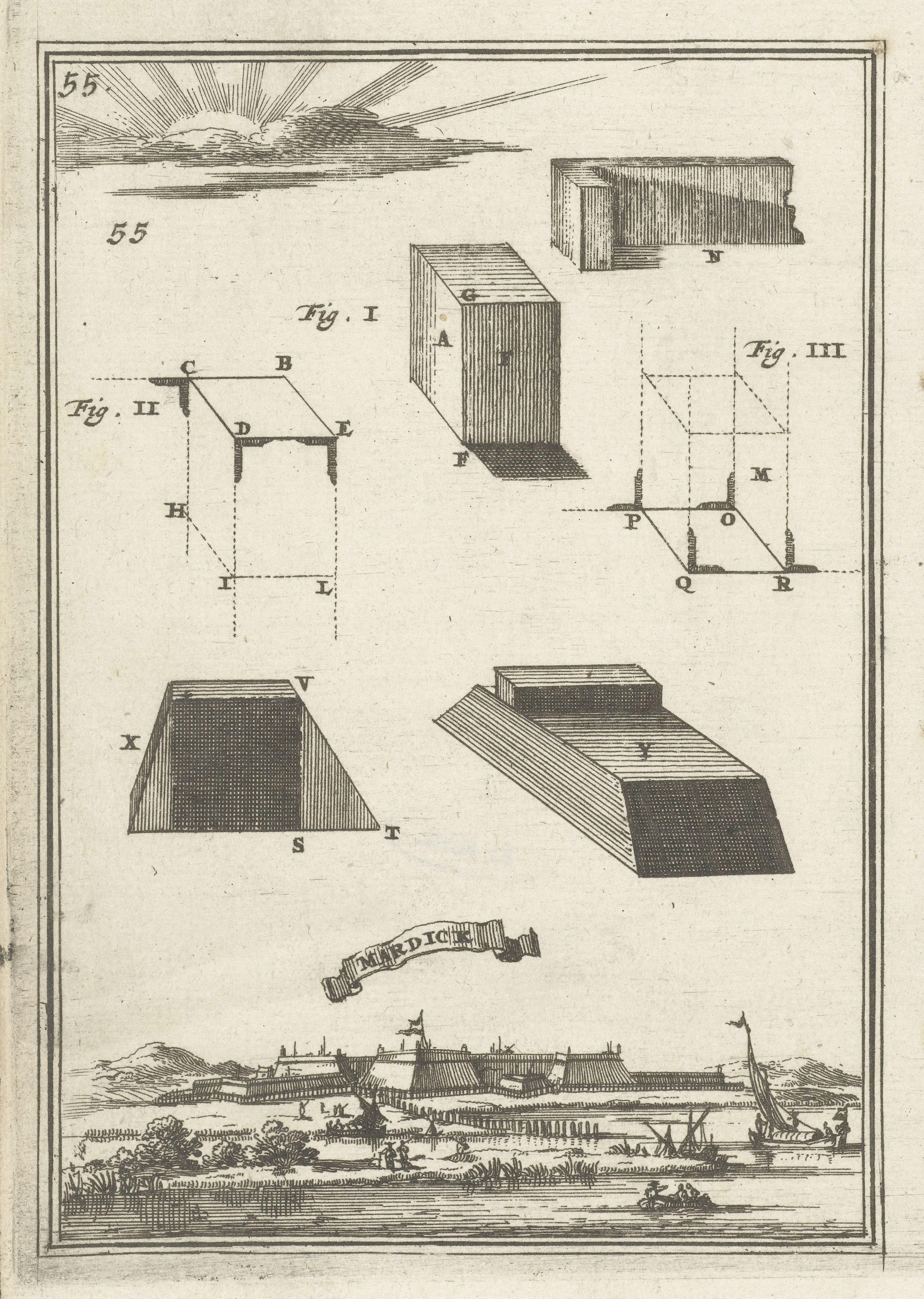
This is a vintage illustration from a book, likely a treatise on fortification or architecture. The page is filled with detailed diagrams and a landscape view. **Top Section:** The upper portion of the page is dominated by technical diagrams. There are several isometric or perspective drawings of fortress structures, rendered with precise hatching and line work. These appear to be different designs for bastions or fortifications. Each diagram is labeled with letters (A, B, C, etc.) to indicate specific points or features. There are also numbers '55' in the top corners. **Diagram Details:** * **Fig. I:** Shows a cube-like structure with angled sides, representing a bastion. * **Fig. II:** Presents a geometric construction with lines and points (C, D, E, H, I, L) forming a triangular shape. * **Fig. III:** Another geometric construction with lines and points (M, N, O, P, Q, R) forming a triangular shape. * Below these are more simplified isometric views of fortress structures labeled with letters (X, V, S, T, Y). **Bottom Section:** The lower portion of the page features a detailed landscape view. It depicts a harbor or coastal town with several ships sailing in the water. There's a fortified town or castle in the background, with buildings and towers. A banner with text is displayed prominently in the foreground. **Overall Style:** The illustration is executed in a precise, technical style, typical of 17th or 18th-century engravings. The use of hatching and line work creates a sense of depth and texture. The overall impression is one of meticulous detail and scientific accuracy.