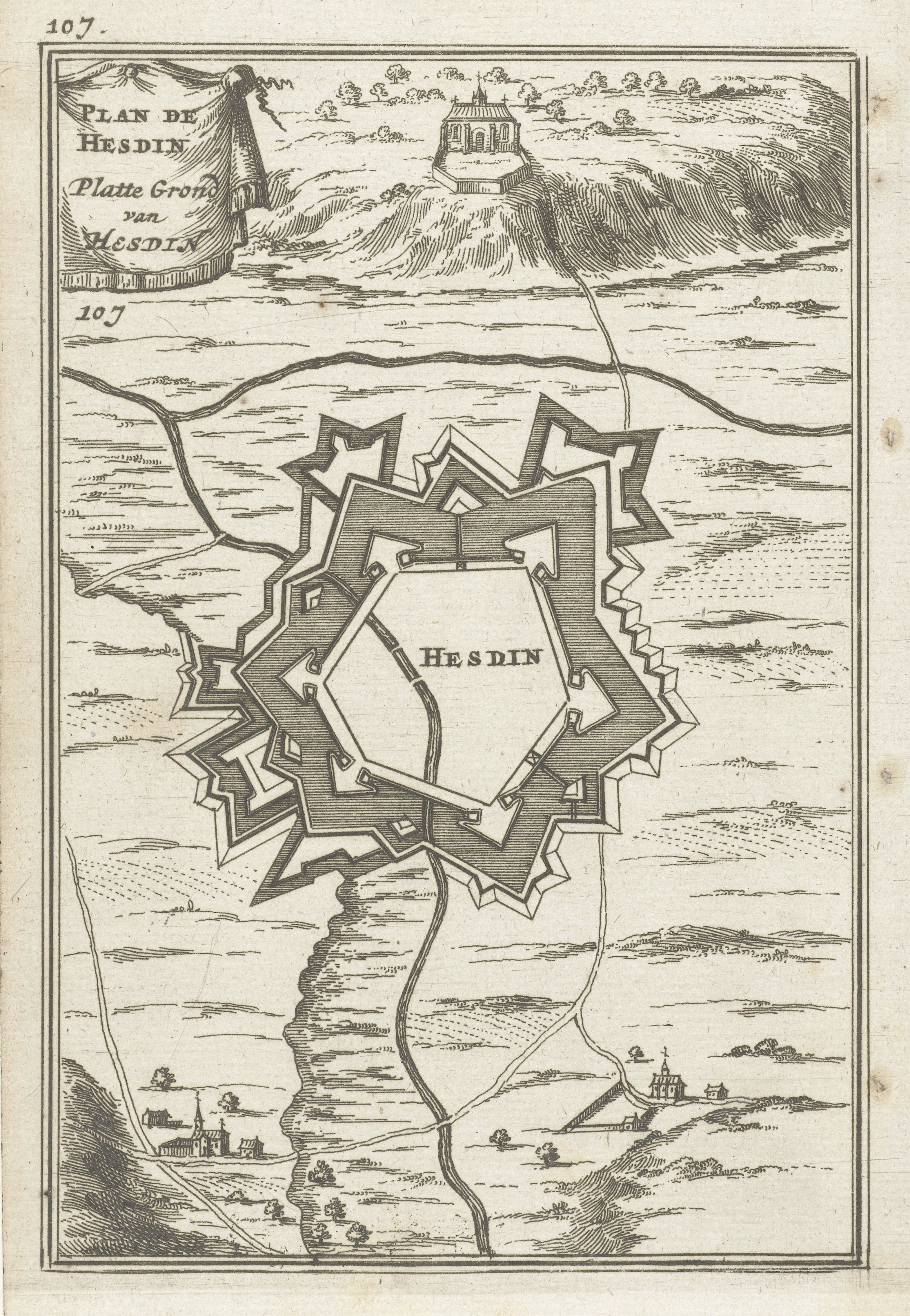
This is a vintage map or plan of the town of Hesdin, likely from the 17th or 18th century. The map is rendered in a detailed, engraved style with fine lines. The central feature is a star-shaped fortification surrounding the town. The fortification has multiple bastions, each with pointed projections, creating a complex defensive structure. Within the fortification walls, there's a depiction of the town itself, with small buildings and structures. A winding river flows around the fortification, providing a natural barrier. The surrounding landscape is depicted with trees and small clusters of buildings, suggesting a rural setting. In the upper left corner, there's text in an old-fashioned script, likely the title of the map: "PLAN DE HESDIN. PLATTE GROND VAN HESDIN". The number "107" appears in the upper left and lower left corners. The map is framed by a simple rectangular border.