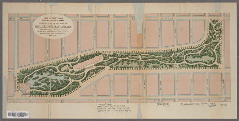
This is a vintage map of Morningside Park in New York City, dated 1873. The map is rendered in a faded, sepia-toned style, giving it an antique appearance. The park itself is a large, irregularly shaped green area winding through a grid of city blocks. The surrounding city is depicted as a dense network of rectangular blocks, representing buildings, intersected by streets and avenues. The park is densely populated with tree symbols, indicating a heavily wooded area. The map includes text labels identifying the park and the city, as well as details about the document itself. A scale is present in the bottom right corner, providing a reference for distances. The overall impression is of a detailed and historical plan for a public park within a rapidly developing urban landscape. The map is slightly worn and aged, with some discoloration and imperfections, adding to its vintage charm.