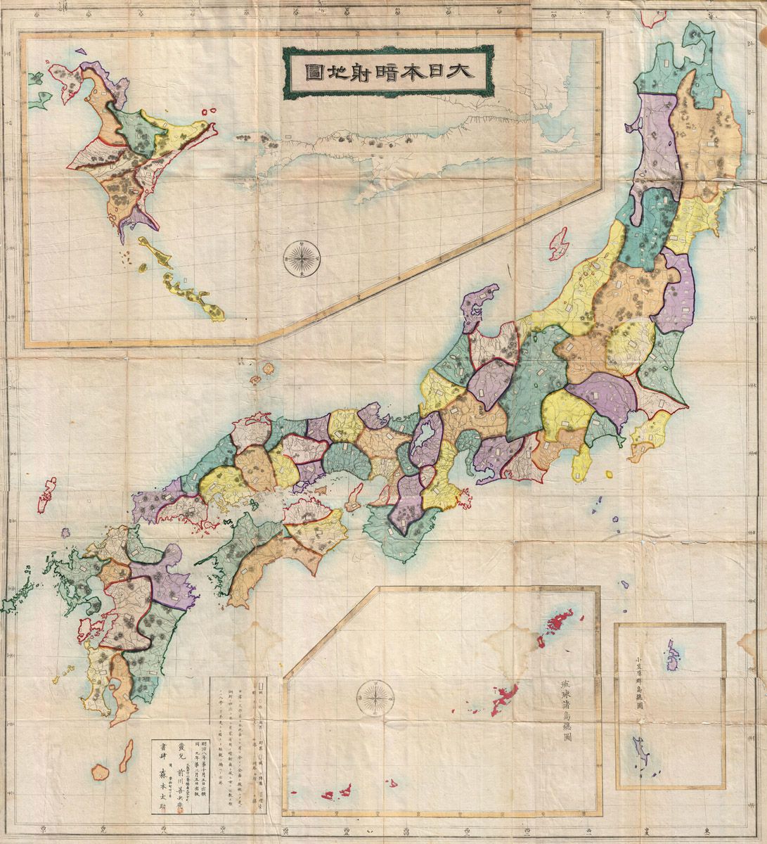
This is a vintage map of Japan, rendered in a traditional style. The map depicts the main island of Honshu, as well as Hokkaido, Kyushu, and Shikoku, along with numerous smaller islands surrounding them. The map is divided into regions, each colored differently – shades of green, yellow, purple, and blue dominate. These colors likely represent provinces or administrative divisions. The map is overlaid with a grid pattern, and features Japanese text in various locations, including a prominent title at the top. There are also compass roses present, indicating direction. The map has a slightly aged appearance, with visible creases and a yellowish tint, suggesting it is an antique document. The borders of the map are decorated with a simple, geometric pattern. The overall aesthetic is reminiscent of historical Japanese cartography.