mapcitydistrictwaterlegendtextmapnew york city1870political districtsvintage maphistorical mapcartography
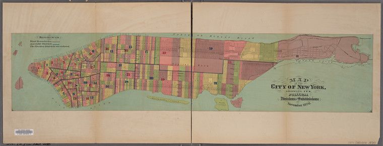
The image is a vintage map of New York City, dated November 1870. It's a two-page spread, with a green background representing land and blue representing water. The map is divided into numerous colored districts, each numbered, likely representing political or administrative divisions. A legend in the upper left corner explains the color coding. The map covers Manhattan, parts of Brooklyn, and surrounding waterways. The style is typical of 19th-century cartography, with detailed outlines of streets and buildings. The map is aged, with a sepia tone and some wear and tear visible. There are some barcodes and text at the bottom of the image, likely related to its archival status.
License: CC0