fortificationcitymapdrawingillustrationfortificationcitymapdrawingillustrationvintagesepiahistoricalarchitecturemilitaryurban planning
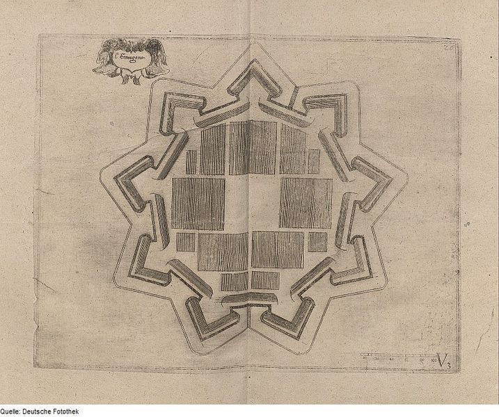
The image is a vintage, sepia-toned map or drawing of a star-shaped fortification surrounding a city. The fortification has multiple pointed bastions extending outwards, creating a complex, angular shape. Within the walls, the city is depicted with a grid-like pattern of rectangular blocks, representing buildings or city blocks. The drawing style is detailed and appears to be from a historical map or architectural plan. There's a small decorative cartouche in the upper left corner with text in a script font. The background is a faded, aged paper texture. The bottom right corner has some small numbers and symbols, possibly a scale or reference information. The overall impression is of a historical military or urban planning document.
License: CC0