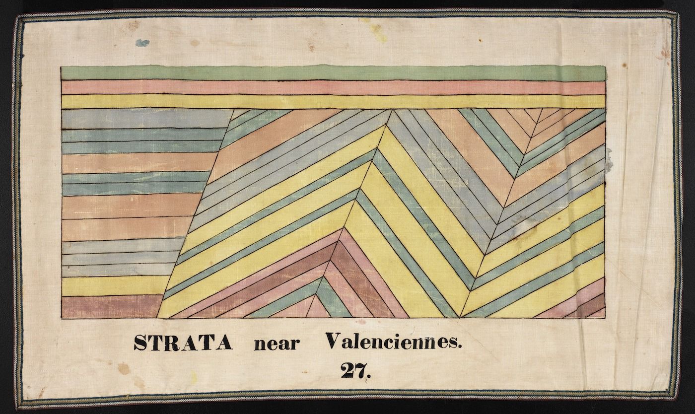
The image is a hand-drawn geological illustration depicting layers of strata near Valenciennes. The illustration is rectangular and features a series of angled, colorful bands representing different layers of rock or soil. The bands are arranged in a pattern that suggests a tilted or folded geological formation. The colors used include shades of red, pink, blue, green, and yellow, creating a visually striking representation of the strata. Below the illustration, there is text that reads "STRATA near Valenciennes. 27.", indicating the location and possibly a reference number for the sample or diagram. The illustration is on a slightly aged, off-white paper with some visible wear and tear around the edges. The overall style of the illustration is reminiscent of historical geological drawings or diagrams.